Manage Edit Post Logout Login

Eric’s posthaven

« Back to blog

Mapping the Mississippi Delta

via flickr.com

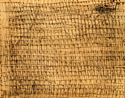
key chart showing flight lines and photo locations -- theb0923, NOAA's Historic Coast & Geodetic Survey (C&GS) Collection

Looks somewhat like a Paul Klee, no? Or the plan for one of Andreas Gefeller overhead mapping photographs.

Upvote Upvoted 0
Tweet
Like this post?
Subscribe by email » We'll email you when there are new posts here.
You're following this blog. Unfollow »
Follow this Posthaven »
Enter your email address to get email alerts about new posts on this site. Unsubscribe anytime.
Email address is invalid.
0 responses
Add Website URL »

Posted